Cartography
Dimensions up to 1150 x 1550 mm.
Drawn from official cartographic mapping and freely own sources.
Features
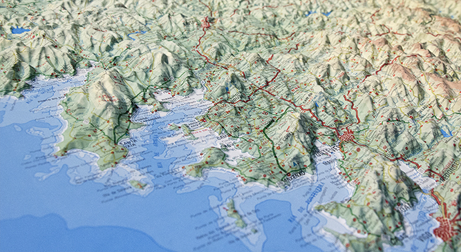
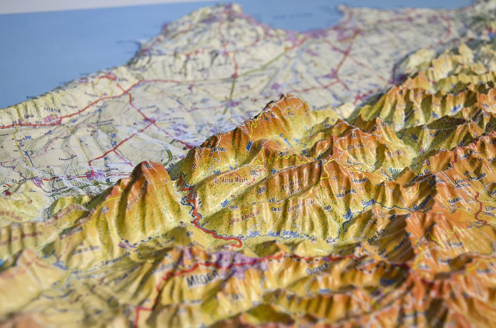
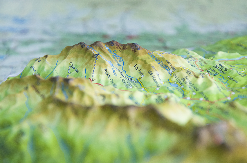
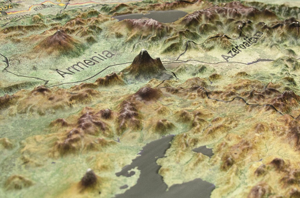
The orography is shown by a gradation of color shades
May include level curves
Most important trig points and altitude levels
Regional, provincial and municipal administrative boundaries. Population areas, distinguished by number of inhabitants and category.
The ranking of populations is made using the latest Nomenclature of the National Institute of Statistics.
Contents
- Road communication routes distinguished by their official category: Highway, state roads, regional roads, provincial roads, local roads and ‘other roads and tracks’.
- Distances in kilometers
- Road number
- Railways
- Roads in mountains defiles
- Full hydrography with its place names
- Hypsometry and bathymetry
- Trig points and altitude levels
- Administrative boundaries
- Signs that locate places of historical, artistic, cultural and recreational interest.
- Protected wildlife parks
- Bathymetry: The sea is rendered using digital information obtained from oceanographic agencies in various shades of blue separated by bathymetric lines.